
Springer
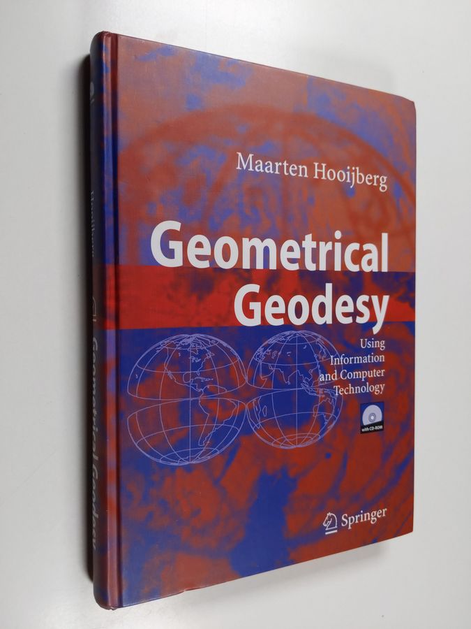
Geometrical Geodesy
Alin havaittu hinta
Hinnat kaupoissa
1 tarjousHinnat ovat viimeksi havaittuja. Tarkista ajantasainen hinta, saatavuus ja toimituskulut kaupasta.
Hintahistoria
5 hintahavaintoaKaavio näyttää kunkin havaintopäivän alimman tallennetun tuotehinnan. Havaintojen välistä hintaa ei ole vahvistettu.
Hinta nyt 180,00 €. Alin havaittu 180,00 €, korkein 219,99 €. (-8 % keskiarvosta)
- Alin havaittu
- 180,00 €
- Korkein havaittu
- 219,99 €
- Viimeisin historian havainto
Näytä kaikki 5 hintahavaintoa
| Hinta havaittu (Suomen aika) | Hinta |
|---|---|
| 219,99 € | |
| 180,00 € | |
| 219,99 € | |
| 180,00 € | |
| 180,00 € |
Tuotetiedot
Surveying a Century Ago As it was based on the principles of geometry and trigonometry, surveying may be may be looked upon as a branch of practical mathematics. Hence, it was necessary that land surveyors and hydrographers should have a fair general knowledge, not only of these subjects, but also of all the subjects comprised by the term mathemat ics. In addition, the knowledge of mathematics required in ordinary chain surveying and levelling was not very extensive but in geodetical work, the highest mathematical ability and great organising power were required for a proper conception and supervision of the operations (Threlfall, 1940). Only small area of a few hundred square kilometres can be accurately mapped and surveyed without a frame work, since no difficulty is encountered because of Earth-curvature. In the past, especially in hydrography due to the type of work, surveying was carried out on the principles of ordinary practice, but in a very rough man ner, rapidity of execution being of paramount importance, the permissible error was sometimes large. The relative positions of the main surface features were obtained by aid of portable instruments, such as sextants and lead lines, tide poles, and logships. Sketching, just like military surveying was often filling in the smaller detail. In contrary, survey works done by the national mapping agencies (NMAs) were of a higher-level, and comprised the delimitation of boundaries as well as topographical surveys.
- Brändi
- Springer
- EAN / GTIN
- 9783540254492