
Springer
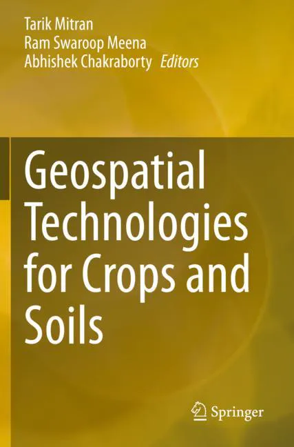
Geospatial Technologies for Crops and Soils
Lowest observed price
Prices at stores
1 offerPrices are the most recently observed prices. Check the current price, availability and delivery costs at the store.
Price history
1 price observationThe chart shows the lowest recorded product price on each observation day. Prices between observations have not been verified.
- Lowest observed
- €241.99
- Highest observed
- €241.99
- Latest history observation
Show price observation
| Price observed (Finnish time) | Price |
|---|---|
| €241.99 |
Product details
The sustainable development of the agriculture sector is the only option to meet the demands of increased and economically viable production in a changing climate. This means there is a need to introduce the latest technologies to enhance production, and also help policymakers make decisions for the future. Geospatial technologies & tools, such as remote sensing, geographical information systems (GIS), global positioning systems (GPS), and mobile & web applications, provide unique capabilities to analyze multi-scale, multi-temporal datasets, and support decision-making in sustainable agriculture development and natural resources management. Further, the availability of reliable and timely geospatial information on natural resources and environmental conditions is essential for sustainable agricultural development and food security. Since remote sensing solutions are fast, non-destructive and have large spatial coverage, they can play a significant role in the identification, inventory, and mapping of land resources. Over the past four decades, remote sensing has proved to be a cost-effective and powerful tool to assess crop and soil properties in varying spatial and temporal scales using both visual and digital techniques. Satellite remote sensing coupled with GIS & mobile-app based positional information has emerged as an efficient tool for optimizing input resources, and minimizing cost of production and risk of biotic/ abiotic factors nature to promote sustainable agriculture. This book comprehensively documents the applications of space-based technologies for crop and soil assessments for the sustainable development of agriculture.
- Brand
- Springer
- EAN / GTIN
- 9789811568664